Geolocate

Hernando Beach topographic map

Click on the map to display elevation.

About this map
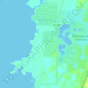
Name: Hernando Beach topographic map, elevation, terrain.

Location: Hernando Beach, Hernando County, Florida, United States (28.44924 -82.68430 28.50406 -82.64891)

Average elevation: 10 ft

Minimum elevation: -3 ft

Maximum elevation: 49 ft

Hernando County trails, hiking, mountain biking, running and outdoor activities

Gear up for your next adventure:

🧴Hand Sanitizer - Keep hands clean while hiking
🛌Ultralight Sleeping Bags - Compact down bags for cold nights in the wilderness
🛡️Insect Repellent - Protection against bugs during outdoor activities
📷Action Cameras - Rugged cameras to document your journeys across rugged terrain
🪶Fire Starter Kit - Reliable fire starter for survival and camping

As an Amazon Associate, this site earns from qualifying purchases at no extra cost to you.