
彌勒山 topographic map
Interactive map
Click on the map to display elevation.
About this map
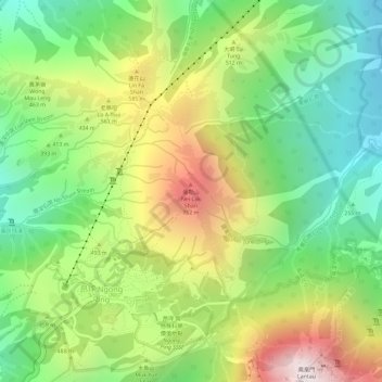
Name: 彌勒山 topographic map, elevation, terrain.
Location: 彌勒山, 新界, 離島區, 香港, 中国 (22.26299 113.91096 22.26309 113.91106)
Average elevation: 1,339 ft
Minimum elevation: 154 ft
Maximum elevation: 2,877 ft
Other topographic maps
Click on a map to view its topography, its elevation and its terrain.