
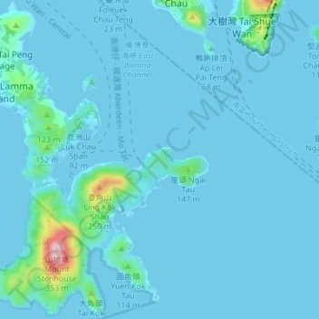
南丫島 topographic map
Interactive map
Click on the map to display elevation.
About this map
Name: 南丫島 topographic map, elevation, terrain.
Location: 南丫島, 新界, 離島區, 香港, 中国 (22.17767 114.10242 22.24121 114.16052)
Average elevation: 66 ft
Minimum elevation: -16 ft
Maximum elevation: 1,066 ft
Other topographic maps
Click on a map to view its topography, its elevation and its terrain.