
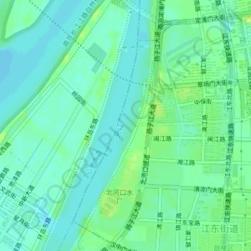
夹江 topographic map
Interactive map
Click on the map to display elevation.
About this map
Name: 夹江 topographic map, elevation, terrain.
Location: 夹江, 鼓楼区, 南京市, 江苏省, 210036, 中国 (32.04567 118.71471 32.06519 118.72272)
Average elevation: 23 ft
Minimum elevation: 3 ft
Maximum elevation: 46 ft
Other topographic maps
Click on a map to view its topography, its elevation and its terrain.