
石头城 topographic map
Interactive map
Click on the map to display elevation.
About this map
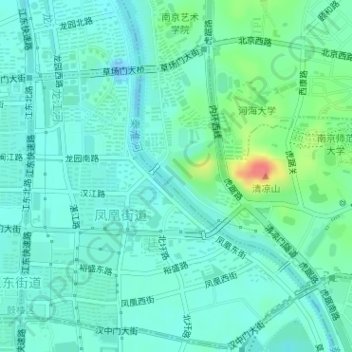
Name: 石头城 topographic map, elevation, terrain.
Location: 石头城, 石头城路, 石头城新村, 鼓楼区, 南京市, 江苏省, 210013, 中国 (32.05247 118.74762 32.05257 118.74772)
Average elevation: 46 ft
Minimum elevation: -69 ft
Maximum elevation: 200 ft
Other topographic maps
Click on a map to view its topography, its elevation and its terrain.