Geolocate

Pampamarca topographic map

Click on the map to display elevation.

About this map

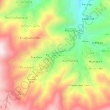
Name: Pampamarca topographic map, elevation, terrain.

Location: Pampamarca, Talavera, Andahuaylas, Apurímac, Perú (-13.72566 -73.47984 -13.68566 -73.43984)

Average elevation: 11,457 ft

Minimum elevation: 10,121 ft

Maximum elevation: 12,684 ft

Gear up for your next adventure:

🎁Geography Themed Gifts - Unique gift ideas for map lovers and geography enthusiasts
🥾Men's Hiking Boots - Durable, waterproof footwear for rugged terrain and steep inclines
🎒Trail Energy Bars - High‑calorie bars for hiking energy
🛡️Insect Repellent - Protection against bugs during outdoor activities
🎒Day Hiking Backpack - Lightweight backpack perfect for day trips and outdoor adventures

As an Amazon Associate, this site earns from qualifying purchases at no extra cost to you.