
Evergreen Lane (Briggs Terrace) Historical Site topographic map
Interactive map
Click on the map to display elevation.
About this map
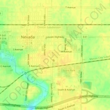
Name: Evergreen Lane (Briggs Terrace) Historical Site topographic map, elevation, terrain.
Average elevation: 997 ft
Minimum elevation: 942 ft
Maximum elevation: 1,017 ft
Story County trails, hiking, mountain biking, running and outdoor activities