
Dewey topographic map
Interactive map
Click on the map to display elevation.
About this map
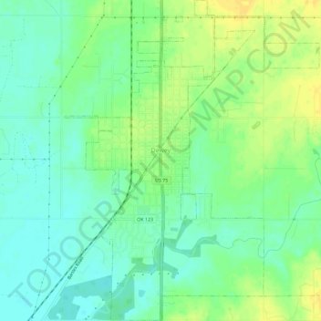
Name: Dewey topographic map, elevation, terrain.
Location: Dewey, Washington County, Oklahoma, 74029, United States (36.77152 -95.95271 36.81730 -95.90730)
Average elevation: 692 ft
Minimum elevation: 656 ft
Maximum elevation: 732 ft
Washington County trails, hiking, mountain biking, running and outdoor activities
Other topographic maps
Click on a map to view its topography, its elevation and its terrain.