
Cerignola topographic map
Click on the map to display elevation.
About this map
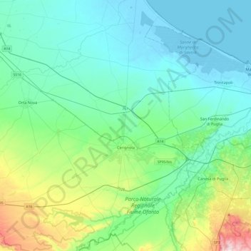
Name: Cerignola topographic map, elevation, terrain.
Location: Cerignola, Foggia, Apulia, 71042, Italy (41.11468 15.69427 41.47747 16.04108)
Average elevation: 308 ft
Minimum elevation: -16 ft
Maximum elevation: 1,644 ft
Other topographic maps
Click on a map to view its topography, its elevation and its terrain.