Geolocate
👉 Easily get elevation data in JSON, GeoTIFF and KML formats using Elevation API
Thank you for supporting this site ❤️
Make a donation

Cadet topographic map

Click on the map to display elevation.

About this map

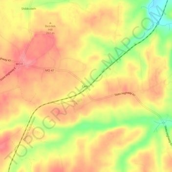
Name: Cadet topographic map, elevation, terrain.

Location: Cadet, Washington County, Missouri, 63674, United States (37.96755 -90.70846 38.00755 -90.66846)

Average elevation: 837 ft

Minimum elevation: 659 ft

Maximum elevation: 935 ft

Washington County trails, hiking, mountain biking, running and outdoor activities

Gear up for your next adventure:

🪵Folding Camp Saw - Compact saw for wood and campsite work
🧥Waterproof Jacket for Hiking - Breathable and rugged rain jacket for outdoor excursions
📶Vehicle Signal Boosters - Improve reception in rural areas while driving to trailheads
🔥Fast-Boil Camping Stoves - Efficient cooking systems for quick trail meals
🧭Hiking Compass - Precision compass for reliable navigation in the wilderness

As an Amazon Associate, this site earns from qualifying purchases at no extra cost to you.