
Thank you for supporting this site ❤️
Make a donation
Make a donation
Gear up for your next adventure:
As an Amazon Associate, this site earns from qualifying purchases at no extra cost to you.
Hanfit ash-Shamali topographic map
Click on the map to display elevation.
Thank you for supporting this site ❤️
Make a donation
Make a donation
Gear up for your next adventure:
As an Amazon Associate, this site earns from qualifying purchases at no extra cost to you.
About this map
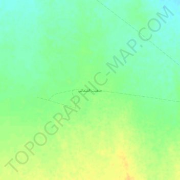
Name: Hanfit ash-Shamali topographic map, elevation, terrain.
Location: Hanfit ash-Shamali, Dhofar Governorate, Oman (17.85107 53.95166 17.89107 53.99166)
Average elevation: 1,220 ft
Minimum elevation: 1,181 ft
Maximum elevation: 1,263 ft
Thank you for supporting this site ❤️
Make a donation
Make a donation
Gear up for your next adventure:
As an Amazon Associate, this site earns from qualifying purchases at no extra cost to you.