Geolocate

Telipali topographic map

Click on the map to display elevation.

About this map

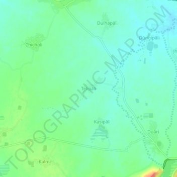
Name: Telipali topographic map, elevation, terrain.

Location: Telipali, Ambabhona, Bargarh District, Odisha, 768045, India (21.54457 83.40245 21.58457 83.44245)

Average elevation: 705 ft

Minimum elevation: 659 ft

Maximum elevation: 810 ft

Other topographic maps

Click on a map to view its topography, its elevation and its terrain.

Bhat Bhicha Nadi

India > Odisha > Ambabhona

Average elevation: 856 ft

Gear up for your next adventure:

🥘Titanium Cookware - Durable, featherlight pots and pans for backpacking
🩹Survival Bandages - High‑quality bandages for emergencies
🧭GPS Watch Accessories - Bands and chargers for GPS watches
🏔️Mountain Trail Maps - High‑detail maps for popular peaks
🔋Solar Power Banks - Keep your GPS and phone charged in remote wilderness areas

As an Amazon Associate, this site earns from qualifying purchases at no extra cost to you.