Geolocate

Calangay topographic map

Click on the map to display elevation.

About this map

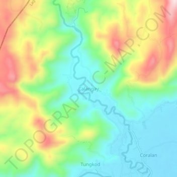
Name: Calangay topographic map, elevation, terrain.

Location: Calangay, Santa Maria, Laguna, Calabarzon, 4022, Philippines (14.48987 121.38643 14.52987 121.42643)

Average elevation: 472 ft

Minimum elevation: 43 ft

Maximum elevation: 1,188 ft

Gear up for your next adventure:

📡Handheld GPS Device - Reliable handheld GPS for outdoor navigation
🎒Hydration Pack - Hands‑free water reservoir for long hikes
🧭GPS Watch Accessories - Bands and chargers for GPS watches
🦟Ultrasonic Repellers - Create a bug-free zone at your camp or rest stop
🛡️Bear Spray Outdoor - Protection in bear country hikes

As an Amazon Associate, this site earns from qualifying purchases at no extra cost to you.