
Tangkuban Perahu topographic map
Interactive map
Click on the map to display elevation.
About this map
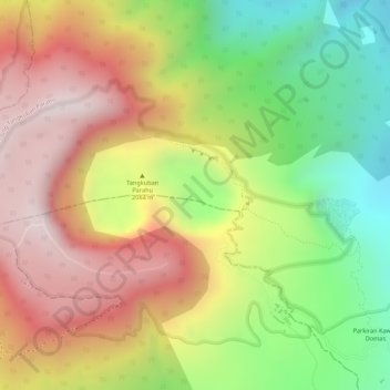
Name: Tangkuban Perahu topographic map, elevation, terrain.
Location: Tangkuban Perahu, Cimahi, West Java, 41281, Indonesia (-6.75921 107.61533 -6.75911 107.61543)
Average elevation: 5,906 ft
Minimum elevation: 4,879 ft
Maximum elevation: 6,788 ft
Other topographic maps
Click on a map to view its topography, its elevation and its terrain.