
Thank you for supporting this site ❤️
Make a donation
Make a donation
Gear up for your next adventure:
As an Amazon Associate, this site earns from qualifying purchases at no extra cost to you.
Kleine-Brogel topographic map
Click on the map to display elevation.
Thank you for supporting this site ❤️
Make a donation
Make a donation
Gear up for your next adventure:
As an Amazon Associate, this site earns from qualifying purchases at no extra cost to you.
About this map
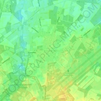
Name: Kleine-Brogel topographic map, elevation, terrain.
Location: Kleine-Brogel, Peer, Maaseik, Limburg, Flanders, Belgium (51.15571 5.43619 51.18950 5.48870)
Average elevation: 171 ft
Minimum elevation: 131 ft
Maximum elevation: 210 ft
Thank you for supporting this site ❤️
Make a donation
Make a donation
Gear up for your next adventure:
As an Amazon Associate, this site earns from qualifying purchases at no extra cost to you.