
施家沟村 topographic map
Interactive map
Click on the map to display elevation.
About this map
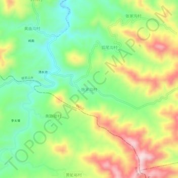
Name: 施家沟村 topographic map, elevation, terrain.
Location: 施家沟村, 鹤壁市, 河南省, 中国 (35.90817 114.04308 35.94817 114.08308)
Average elevation: 1,230 ft
Minimum elevation: 735 ft
Maximum elevation: 1,923 ft
Other topographic maps
Click on a map to view its topography, its elevation and its terrain.