
卫贤镇 topographic map
Interactive map
Click on the map to display elevation.
About this map
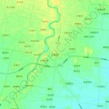
Name: 卫贤镇 topographic map, elevation, terrain.
Location: 卫贤镇, 鹤壁市, 河南省, 中国 (35.56517 114.25403 35.64517 114.33403)
Average elevation: 233 ft
Minimum elevation: 203 ft
Maximum elevation: 262 ft
Other topographic maps
Click on a map to view its topography, its elevation and its terrain.