
高新西区 topographic map
Interactive map
Click on the map to display elevation.
About this map
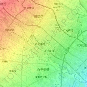
Name: 高新西区 topographic map, elevation, terrain.
Location: 高新西区, 郫都区, 成都市, 四川省, 611731, 中国 (30.71771 103.85318 30.80861 103.98261)
Average elevation: 1,781 ft
Minimum elevation: 1,690 ft
Maximum elevation: 1,890 ft
Other topographic maps
Click on a map to view its topography, its elevation and its terrain.