
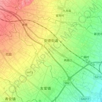
安德街道 topographic map
Interactive map
Click on the map to display elevation.
About this map
Name: 安德街道 topographic map, elevation, terrain.
Location: 安德街道, 郫都区, 成都市, 四川省, 中国 (30.82751 103.76719 30.90159 103.89295)
Average elevation: 1,965 ft
Minimum elevation: 1,854 ft
Maximum elevation: 2,110 ft
Other topographic maps
Click on a map to view its topography, its elevation and its terrain.