
Thank you for supporting this site ❤️
Make a donation
Make a donation
Gear up for your next adventure:
As an Amazon Associate, this site earns from qualifying purchases at no extra cost to you.
Gölsdorf topographic map
Click on the map to display elevation.
Thank you for supporting this site ❤️
Make a donation
Make a donation
Gear up for your next adventure:
As an Amazon Associate, this site earns from qualifying purchases at no extra cost to you.
About this map
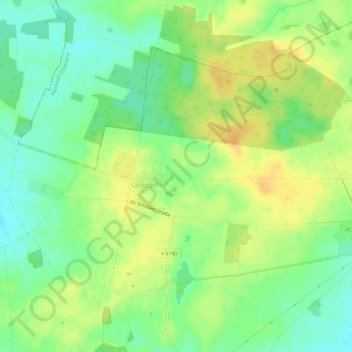
Name: Gölsdorf topographic map, elevation, terrain.
Location: Gölsdorf, Steinhöfel, Oder-Spree, Brandenburg, Deutschland (52.43571 14.07426 52.46273 14.13416)
Average elevation: 259 ft
Minimum elevation: 210 ft
Maximum elevation: 308 ft
Thank you for supporting this site ❤️
Make a donation
Make a donation
Gear up for your next adventure:
As an Amazon Associate, this site earns from qualifying purchases at no extra cost to you.