
新民村 topographic map
Interactive map
Click on the map to display elevation.
About this map
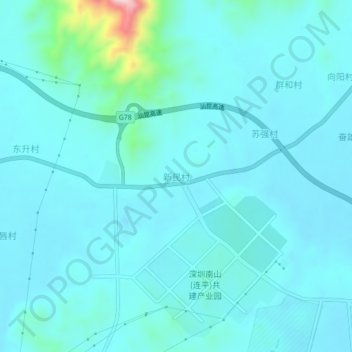
Name: 新民村 topographic map, elevation, terrain.
Location: 新民村, 连平县, 河源市, 广东省, 中国 (24.19168 114.74945 24.23168 114.78945)
Average elevation: 525 ft
Minimum elevation: 407 ft
Maximum elevation: 1,480 ft
Other topographic maps
Click on a map to view its topography, its elevation and its terrain.