
南湖村 topographic map
Interactive map
Click on the map to display elevation.
About this map
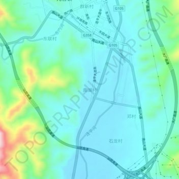
Name: 南湖村 topographic map, elevation, terrain.
Location: 南湖村, 连平县, 河源市, 广东省, 中国 (24.33326 114.46926 24.37326 114.50926)
Average elevation: 833 ft
Minimum elevation: 636 ft
Maximum elevation: 1,654 ft
Other topographic maps
Click on a map to view its topography, its elevation and its terrain.