Geolocate

Vinn topographic map

Click on the map to display elevation.

About this map

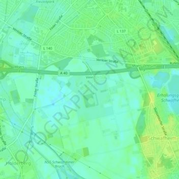
Name: Vinn topographic map, elevation, terrain.

Location: Vinn, Moers, Kreis Wesel, North Rhine-Westphalia, 47447, Germany (51.42215 6.60942 51.44439 6.64801)

Average elevation: 95 ft

Minimum elevation: 72 ft

Maximum elevation: 121 ft

Gear up for your next adventure:

🛡️Insect Repellent - Protection against bugs during outdoor activities
🧢Outdoor Hiking Hat - Sun protection hat for outdoor explorers
🧷Carabiner Set - Durable clips for gear attachment
👟Trail Running Shoes - Lightweight shoes for trail runners
🔋Rechargeable Batteries - Power up your outdoor devices

As an Amazon Associate, this site earns from qualifying purchases at no extra cost to you.