
Iroquois River topographic map
Interactive map
Click on the map to display elevation.
About this map
Name: Iroquois River topographic map, elevation, terrain.
Average elevation: 758 ft
Minimum elevation: 427 ft
Maximum elevation: 1,427 ft
Other topographic maps
Click on a map to view its topography, its elevation and its terrain.
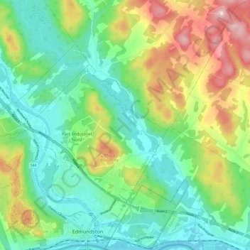
Edmundston
Canada > New Brunswick > Edmundston
Edmundston, Madawaska Parish, Madawaska County, New Brunswick, Canada
Average elevation: 840 ft