Geolocate

Afga topographic map

Click on the map to display elevation.

About this map
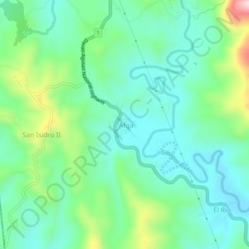
Name: Afga topographic map, elevation, terrain.

Location: Afga, Sibagat, Agusan del Sur, Caraga, 8503, Philippines (8.85370 125.63784 8.89370 125.67784)

Average elevation: 561 ft

Minimum elevation: 240 ft

Maximum elevation: 1,470 ft

Gear up for your next adventure:

🧥Men's Rain Shells - Premium waterproof and breathable jackets for mountain weather
🏕️Tent Footprint - Protect your tent base from wear
🧭Hiking Compass - Precision compass for reliable navigation in the wilderness
🥩Freeze-Dried Meals - Nutritious and lightweight food for remote expeditions
🗻Climbing Gear Basics - Essential gear for beginner climbers

As an Amazon Associate, this site earns from qualifying purchases at no extra cost to you.