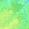
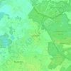
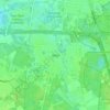
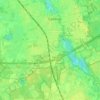
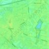
Tilburg topographic map
Click on the map to display elevation.
Tilburg
In the 1990s Tilburg developed a high-rise skyline. Three buildings were built, considered skyscrapers in the Netherlands. These were the Interpolis headquarters, the Westpoint Tower and StadsHeer. The Westpoint Tower has an altitude of 143.1 metres (469.5 feet) and was the tallest residential tower in the Netherlands until the Montevideo in Rotterdam surpassed it. The 'StadsHeer' is the third one and is part of the 'Haestrechtkwartier' (Haestrecht quarter). The residential tower is nicknamed De Vogelkooikes (The Bird Cages) for its cubic balconies taped onto the building.
About this map
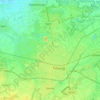
Name: Tilburg topographic map, elevation, terrain.
Location: Tilburg, North Brabant, Netherlands (51.52950 4.94785 51.64166 5.21071)
Average elevation: 36 ft
Minimum elevation: -3 ft
Maximum elevation: 125 ft
Other topographic maps
Click on a map to view its topography, its elevation and its terrain.