
Tomatlán topographic map
Interactive map
Click on the map to display elevation.
About this map
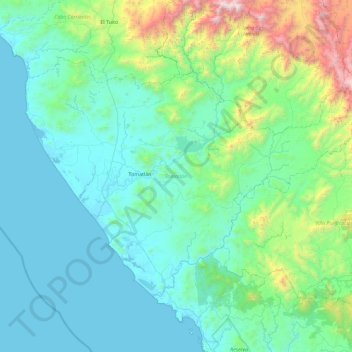
Name: Tomatlán topographic map, elevation, terrain.
Location: Tomatlán, Jalisco, México (19.64254 -105.54956 20.23276 -104.62031)
Average elevation: 1,263 ft
Minimum elevation: -10 ft
Maximum elevation: 8,816 ft
Other topographic maps
Click on a map to view its topography, its elevation and its terrain.