Geolocate

Sand Springs topographic map

Click on the map to display elevation.

About this map

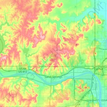
Name: Sand Springs topographic map, elevation, terrain.

Location: Sand Springs, Tulsa, Oklahoma, United States (36.07521 -96.27021 36.30080 -96.06518)

Average elevation: 781 ft

Minimum elevation: 597 ft

Maximum elevation: 1,063 ft

Tulsa trails, hiking, mountain biking, running and outdoor activities

Other topographic maps

Click on a map to view its topography, its elevation and its terrain.

Kengle

United States > Oklahoma > Tulsa

Average elevation: 686 ft

Gear up for your next adventure:

📶Vehicle Signal Boosters - Improve reception in rural areas while driving to trailheads
🪶Multi‑Purpose Knife - Useful blade for camp and trail
📚Navigation Handbooks - Master the art of reading topographic maps and using a compass
🍳Camping Cook Set - Complete cookware for outdoor meals
🛡️Bear Spray Outdoor - Protection in bear country hikes

As an Amazon Associate, this site earns from qualifying purchases at no extra cost to you.