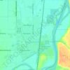
Ontario topographic map
Click on the map to display elevation.
Ontario
Ontario is in northeastern Malheur County, bordered to the east by the Snake River, which forms the state line with Idaho. The city is located at an elevation of 2,150 feet (660 m) above sea level. Via Interstate 84 it is 30 miles (48 km) northwest of Caldwell, Idaho, and 56 miles (90 km) northwest of Boise, as well as 73 miles (117 km) southeast of Baker City, Oregon.
About this map
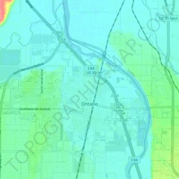
Name: Ontario topographic map, elevation, terrain.
Location: Ontario, Malheur County, Oregon, 97914, United States (44.01022 -117.01989 44.05253 -116.93534)
Average elevation: 2,165 ft
Minimum elevation: 2,129 ft
Maximum elevation: 2,343 ft
Malheur County trails, hiking, mountain biking, running and outdoor activities
Other topographic maps
Click on a map to view its topography, its elevation and its terrain.