Geolocate

Section 36 topographic map

Click on the map to display elevation.

About this map

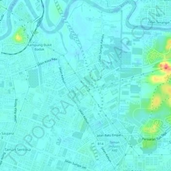
Name: Section 36 topographic map, elevation, terrain.

Location: Section 36, Shah Alam, Klang, Selangor, Malaysia (3.00368 101.47071 3.04722 101.49625)

Average elevation: 26 ft

Minimum elevation: -13 ft

Maximum elevation: 197 ft

Other topographic maps

Click on a map to view its topography, its elevation and its terrain.

Sungai Buloh

Malaysia > Selangor > Shah Alam

Average elevation: 167 ft

Broken Heart Lake trail

Malaysia > Selangor > Shah Alam

Average elevation: 213 ft

Gear up for your next adventure:

🧭Map Reading Tools - Tools and kits for map navigation
💧Water Purification System - Clean water on the trail with reliable purifiers
👖Convertible Hiking Pants - Versatile zip-off pants for changing altitudes and temperatures
🧭Compass with Lanyard - Easy‑carry compass for navigation
🛡️Insect Repellent - Protection against bugs during outdoor activities

As an Amazon Associate, this site earns from qualifying purchases at no extra cost to you.