Geolocate

Spring Hill topographic map

Click on the map to display elevation.

About this map

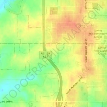
Name: Spring Hill topographic map, elevation, terrain.

Location: Spring Hill, Miami County, Kansas, United States (38.73305 -94.83864 38.73874 -94.83460)

Average elevation: 1,050 ft

Minimum elevation: 961 ft

Maximum elevation: 1,106 ft

Miami County trails, hiking, mountain biking, running and outdoor activities

Other topographic maps

Click on a map to view its topography, its elevation and its terrain.

Wea

United States > Kansas > Miami County

Average elevation: 1,086 ft

Fontana

United States > Kansas > Miami County

Average elevation: 906 ft

Louisburg

United States > Kansas > Miami County

Average elevation: 1,037 ft

Gear up for your next adventure:

📷Action Camera - Capture your outdoor adventures in HD
🔌USB Car Charger - Car charger for on‑the‑go power needs
🚑Emergency Bivvies - Heat-reflective sleeping bags for survival situations
🪑Portable Camp Table - Compact table for campsite meals
📶Vehicle Signal Boosters - Improve reception in rural areas while driving to trailheads

As an Amazon Associate, this site earns from qualifying purchases at no extra cost to you.