
Rampurhat topographic map
Click on the map to display elevation.
About this map
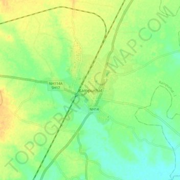
Name: Rampurhat topographic map, elevation, terrain.
Location: Rampurhat, Rampurhat - I, Birbhum, West Bengal, 731224, India (24.13631 87.74596 24.21631 87.82596)
Average elevation: 125 ft
Minimum elevation: 82 ft
Maximum elevation: 164 ft