Geolocate

El Edén topographic map

Click on the map to display elevation.

About this map

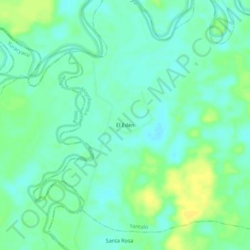
Name: El Edén topographic map, elevation, terrain.

Location: El Edén, Yantalo, Moyobamba, San Martín, Perú (-5.96829 -77.15365 -5.92829 -77.11365)

Average elevation: 2,651 ft

Minimum elevation: 2,625 ft

Maximum elevation: 2,690 ft

Gear up for your next adventure:

🦶Hiking Gaiters - Keep debris and water out of your boots
🎒Gear Packing Cubes - Organize your backpack efficiently
🧭Compass with Lanyard - Easy‑carry compass for navigation
🥩Freeze-Dried Meals - Nutritious and lightweight food for remote expeditions
🚁Photography Drones - Capture stunning aerial views of landforms and topography

As an Amazon Associate, this site earns from qualifying purchases at no extra cost to you.