
Slingeplas topographic map
Click on the map to display elevation.
About this map
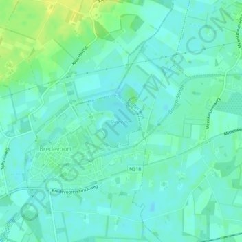
Name: Slingeplas topographic map, elevation, terrain.
Location: Slingeplas, Bredevoort, Aalten, Gelderland, Netherlands (51.94403 6.62476 51.94969 6.63311)
Average elevation: 95 ft
Minimum elevation: 75 ft
Maximum elevation: 135 ft