
Arbeitersiedlung Untere Bleiche topographic map
Interactive map
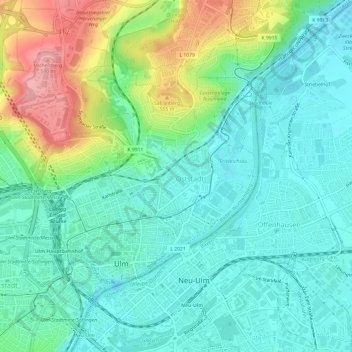
Click on the map to display elevation.
About this map
Name: Arbeitersiedlung Untere Bleiche topographic map, elevation, terrain.
Average elevation: 1,627 ft
Minimum elevation: 1,509 ft
Maximum elevation: 1,932 ft
Other topographic maps
Click on a map to view its topography, its elevation and its terrain.
Grimmelfingen
Germany > Baden-Württemberg > Ulm
Grimmelfingen, Ulm, Baden-Württemberg, 89079, Germany
Average elevation: 1,716 ft
Einsingen
Germany > Baden-Württemberg > Ulm > Einsingen
Einsingen, Ulm, Baden-Württemberg, 89079, Germany
Average elevation: 1,680 ft