Geolocate

Wada topographic map

Click on the map to display elevation.

About this map

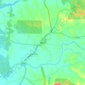
Name: Wada topographic map, elevation, terrain.

Location: Wada, Wada Taluka, Palghar, Maharashtra, 421303, India (19.61467 73.10805 19.69467 73.18805)

Average elevation: 187 ft

Minimum elevation: 89 ft

Maximum elevation: 538 ft

Gear up for your next adventure:

❄️Traction Cleats - Prevent slips on icy trails during winter hikes
🧥Waterproof Jacket for Hiking - Breathable and rugged rain jacket for outdoor excursions
🚁Photography Drones - Capture stunning aerial views of landforms and topography
📌Outdoor GPS Map App - Apps and devices for digital topographic navigation
📶Vehicle Signal Boosters - Improve reception in rural areas while driving to trailheads

As an Amazon Associate, this site earns from qualifying purchases at no extra cost to you.