Geolocate

Midle topographic map

Click on the map to display elevation.

About this map

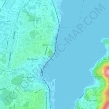
Name: Midle topographic map, elevation, terrain.

Location: Midle, Nadaberget, Lura, Sandnes, Rogaland, 4315, Norway (58.86797 5.73651 58.88797 5.75651)

Average elevation: 52 ft

Minimum elevation: 0 ft

Maximum elevation: 525 ft

Gear up for your next adventure:

Solar GPS Watches - Advanced multisport watches with built-in topographic maps
🎒Hydration Pack - Hands‑free water reservoir for long hikes
🧯Emergency Survival Kit - All‑in‑one survival essentials for the backcountry
🏫Relief Map Kits - Hands-on tools for teaching landforms and elevation
🪶Compact Camp Shovel - Folding shovel for campsite tasks

As an Amazon Associate, this site earns from qualifying purchases at no extra cost to you.