
Stockton topographic map
Interactive map
Click on the map to display elevation.
About this map
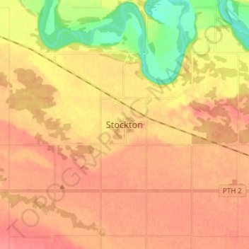
Name: Stockton topographic map, elevation, terrain.
Location: Stockton, Manitoba, Canada (49.54333 -99.49000 49.62333 -99.41000)
Average elevation: 1,198 ft
Minimum elevation: 1,060 ft
Maximum elevation: 1,273 ft