Geolocate

Red Level topographic map

Click on the map to display elevation.

About this map

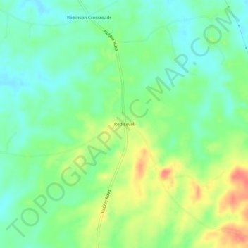
Name: Red Level topographic map, elevation, terrain.

Location: Red Level, Montgomery County, Alabama, United States (32.11431 -86.24330 32.15431 -86.20330)

Average elevation: 315 ft

Minimum elevation: 246 ft

Maximum elevation: 427 ft

Montgomery County trails, hiking, mountain biking, running and outdoor activities

Other topographic maps

Click on a map to view its topography, its elevation and its terrain.

Pike Road

United States > Alabama > Montgomery County

Average elevation: 240 ft

Gear up for your next adventure:

🧭Outdoor Navigation Book - Learn advanced navigation skills
🗺️NatGeo Topo Maps - High-quality waterproof printed topographic maps of US Parks
🔌USB Car Charger - Car charger for on‑the‑go power needs
👟Men's Trail Runners - Lightweight footwear for fast-paced exploration and light hiking
🏔️Mountain Trail Maps - High‑detail maps for popular peaks

As an Amazon Associate, this site earns from qualifying purchases at no extra cost to you.