
Thank you for supporting this site ❤️
Make a donation
Make a donation
Gear up for your next adventure:
As an Amazon Associate, this site earns from qualifying purchases at no extra cost to you.
Vallter2000 topographic map
Click on the map to display elevation.
Thank you for supporting this site ❤️
Make a donation
Make a donation
Gear up for your next adventure:
As an Amazon Associate, this site earns from qualifying purchases at no extra cost to you.
About this map
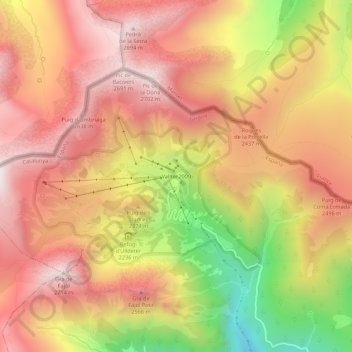
Name: Vallter2000 topographic map, elevation, terrain.
Location: Vallter2000, Setcases, Ripollés, Gerona, Cataluña, 17869, España (42.40648 2.24509 42.44648 2.28509)
Average elevation: 7,638 ft
Minimum elevation: 5,564 ft
Maximum elevation: 8,947 ft
Thank you for supporting this site ❤️
Make a donation
Make a donation
Gear up for your next adventure:
As an Amazon Associate, this site earns from qualifying purchases at no extra cost to you.