
Thank you for supporting this site ❤️
Make a donation
Make a donation
Gear up for your next adventure:
As an Amazon Associate, this site earns from qualifying purchases at no extra cost to you.
Vallelunga topographic map
Click on the map to display elevation.
Thank you for supporting this site ❤️
Make a donation
Make a donation
Gear up for your next adventure:
As an Amazon Associate, this site earns from qualifying purchases at no extra cost to you.
About this map
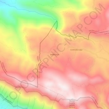
Name: Vallelunga topographic map, elevation, terrain.
Location: Vallelunga, Gallo Matese, Caserta, Campania, 86075, Italia (41.47036 14.15436 41.51036 14.19436)
Average elevation: 2,569 ft
Minimum elevation: 938 ft
Maximum elevation: 3,497 ft
Thank you for supporting this site ❤️
Make a donation
Make a donation
Gear up for your next adventure:
As an Amazon Associate, this site earns from qualifying purchases at no extra cost to you.