
Hind-Smith Lake topographic map
Interactive map
Click on the map to display elevation.
About this map
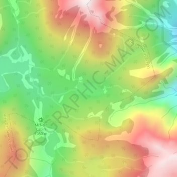
Name: Hind-Smith Lake topographic map, elevation, terrain.
Average elevation: 3,891 ft
Minimum elevation: 2,562 ft
Maximum elevation: 5,377 ft
Other topographic maps
Click on a map to view its topography, its elevation and its terrain.
Roberts Creek
Canada > British Columbia > Sunshine Coast Regional District > Area D (Roberts Creek)
Roberts Creek, Area D (Roberts Creek), Sunshine Coast Regional District, British Columbia, V0N 2W0, Canada
Average elevation: 184 ft