
Mull River topographic map
Click on the map to display elevation.
About this map
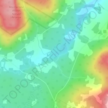
Name: Mull River topographic map, elevation, terrain.
Average elevation: 272 ft
Minimum elevation: 128 ft
Maximum elevation: 548 ft
Other topographic maps
Click on a map to view its topography, its elevation and its terrain.
Mabou
Canada > Nova Scotia > Municipality of the County of Inverness > Mabou
Average elevation: 266 ft