Geolocate

Beijin topographic map

Click on the map to display elevation.

About this map

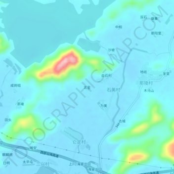
Name: Beijin topographic map, elevation, terrain.

Location: Beijin, Jiangmen, Guangdong, China (21.83093 112.53370 21.87093 112.57370)

Average elevation: 62 ft

Minimum elevation: -16 ft

Maximum elevation: 594 ft

Other topographic maps

Click on a map to view its topography, its elevation and its terrain.

Shangchuan Island

China > Guangdong > Jiangmen

Average elevation: 89 ft

Gear up for your next adventure:

📱Solar Portable Charger - Solar power bank for charging devices off‑grid
🪶Thermal Camp Blanket - Extra warmth for cold nights
Camping Coffee Makers - Enjoy premium coffee at the summit or campsite
🎒Trekking Poles - Sturdy poles for balance and stability on rough terrain
🎒Gear Packing Cubes - Organize your backpack efficiently

As an Amazon Associate, this site earns from qualifying purchases at no extra cost to you.