
Thank you for supporting this site ❤️
Make a donation
Make a donation
Gear up for your next adventure:
As an Amazon Associate, this site earns from qualifying purchases at no extra cost to you.
Xiwenzhuang topographic map
Click on the map to display elevation.
Thank you for supporting this site ❤️
Make a donation
Make a donation
Gear up for your next adventure:
As an Amazon Associate, this site earns from qualifying purchases at no extra cost to you.
About this map
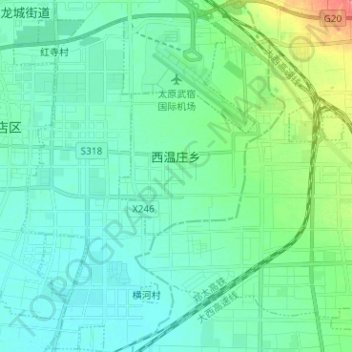
Name: Xiwenzhuang topographic map, elevation, terrain.
Location: Xiwenzhuang, Xiaodian District, Taiyuan City, Shanxi, China (37.67111 112.57213 37.77108 112.66121)
Average elevation: 2,552 ft
Minimum elevation: 2,510 ft
Maximum elevation: 2,720 ft
Thank you for supporting this site ❤️
Make a donation
Make a donation
Gear up for your next adventure:
As an Amazon Associate, this site earns from qualifying purchases at no extra cost to you.