
Chester topographic map
Click on the map to display elevation.
About this map
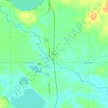
Name: Chester topographic map, elevation, terrain.
Location: Chester, Lake County, South Dakota, 57016, United States (43.87497 -96.94645 43.91497 -96.90645)
Average elevation: 1,604 ft
Minimum elevation: 1,565 ft
Maximum elevation: 1,673 ft
Lake County trails, hiking, mountain biking, running and outdoor activities
Other topographic maps
Click on a map to view its topography, its elevation and its terrain.