Geolocate

Cobole topographic map

Click on the map to display elevation.

About this map

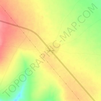
Name: Cobole topographic map, elevation, terrain.

Location: Cobole, Jarar, Somali Region, Ethiopia (8.56315 43.47958 8.60315 43.51958)

Average elevation: 4,659 ft

Minimum elevation: 4,505 ft

Maximum elevation: 4,754 ft

Other topographic maps

Click on a map to view its topography, its elevation and its terrain.

Liben

Ethiopia > Somali Region

Average elevation: 2,516 ft

Gear up for your next adventure:

👟Trail Running Shoes - Lightweight shoes for trail runners
🪶LED Camping Lantern - Bright lantern for camp lighting
🏥Hiking First Aid Kits - Comprehensive medical kits for remote trail injuries
📷Action Cameras - Rugged cameras to document your journeys across rugged terrain
🎒Waterproof Dry Bags - Keep your electronics and maps dry inside your pack

As an Amazon Associate, this site earns from qualifying purchases at no extra cost to you.