Geolocate

Dean topographic map

Click on the map to display elevation.

About this map

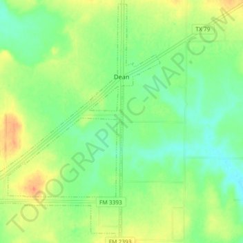
Name: Dean topographic map, elevation, terrain.

Location: Dean, Clay County, Texas, United States (33.90985 -98.40758 33.96860 -98.33449)

Average elevation: 974 ft

Minimum elevation: 919 ft

Maximum elevation: 1,050 ft

Clay County trails, hiking, mountain biking, running and outdoor activities

Other topographic maps

Click on a map to view its topography, its elevation and its terrain.

Charlie

United States > Texas > Clay County

Average elevation: 951 ft

Walton

United States > Texas > Clay County

Average elevation: 883 ft

Shannon

United States > Texas > Clay County

Average elevation: 1,053 ft

Gear up for your next adventure:

📷Action Camera - Capture your outdoor adventures in HD
🌲Outdoor Survival Books - Best books on survival skills
🛰️Handheld GPS Units - Professional satellite navigators for precise backcountry mapping
🔌Solar Panel Charger - Charge gear sustainably outdoors
🏕️Tent Footprint - Protect your tent base from wear

As an Amazon Associate, this site earns from qualifying purchases at no extra cost to you.