Geolocate

Charlie topographic map

Click on the map to display elevation.

About this map

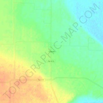
Name: Charlie topographic map, elevation, terrain.

Location: Charlie, Clay County, Texas, United States (34.07621 -98.33560 34.11621 -98.29560)

Average elevation: 951 ft

Minimum elevation: 892 ft

Maximum elevation: 1,014 ft

Clay County trails, hiking, mountain biking, running and outdoor activities

Other topographic maps

Click on a map to view its topography, its elevation and its terrain.

Byers

United States > Texas > Clay County

Average elevation: 981 ft

Dean

United States > Texas > Clay County

Average elevation: 974 ft

Jolly

United States > Texas > Clay County

Average elevation: 984 ft

Gear up for your next adventure:

🔦LED Headlamp - Bright and durable LED headlamp for night navigation
🦶Hiking Gaiters - Keep debris and water out of your boots
🛏️Cold Weather Sleeping Bag - Warm sleeping bag for cold conditions
🖼️Topo Map Wall Art - Decorative topographic prints of famous peaks and regions
📶Satellite Messenger - Communication device off‑grid

As an Amazon Associate, this site earns from qualifying purchases at no extra cost to you.