
Wowoni topographic map
Interactive map
Click on the map to display elevation.
About this map
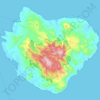
Name: Wowoni topographic map, elevation, terrain.
Location: Wowoni, Sultra, Indonesia (-4.26086 122.93700 -3.97815 123.25950)
Average elevation: 351 ft
Minimum elevation: -3 ft
Maximum elevation: 2,877 ft
Other topographic maps
Click on a map to view its topography, its elevation and its terrain.